Study area
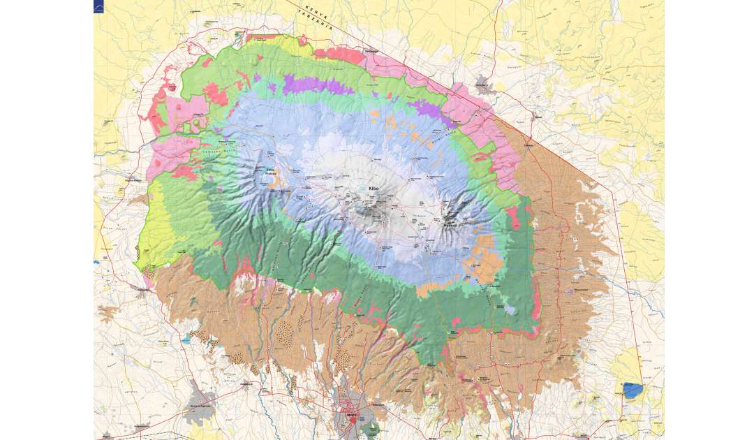
Kilimanjaro is a large stratovolcano (diameter about 100km, Kibo/Uhuru peak: 5895 m asl) located 300 km south of the equator. It has been designated as a UNESCO world heritage site. The foothills receive an annual rainfall of approximately 500-900 mm; precipitation peaks in the forest belt (>3000 mm) and again decreases to 200 mm in the alpine zone. The natural vegetation of the study area includes savannah (700 – 1100 m), submontane and lower montane forest (1100 – 1800 m), Camphor forest (1800 – 2800 m), Podocarpus forest (2800-3200 m), Erica forest (3200 – 4000 m), and alpine Helichrysum vegetation (4000 – 4600 m). Past and current land use has strongly reduced the extent of natural vegetation. Today, on most of the former savannah areas maize fields are found, while traditional agroforestry systems (‘Chagga home gardens), grasslands and coffee plantations dominate areas formerly holding submontane/lower montane forests. Natural ecosystems at altitudes >1800 m are strongly influenced by logging and burning.
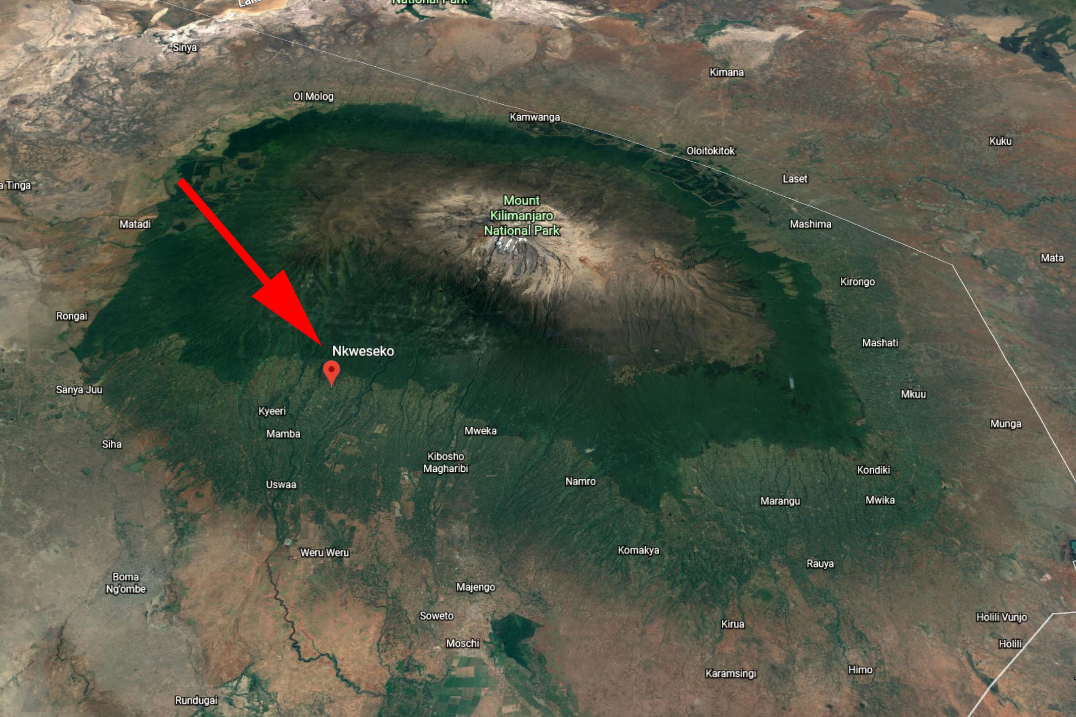
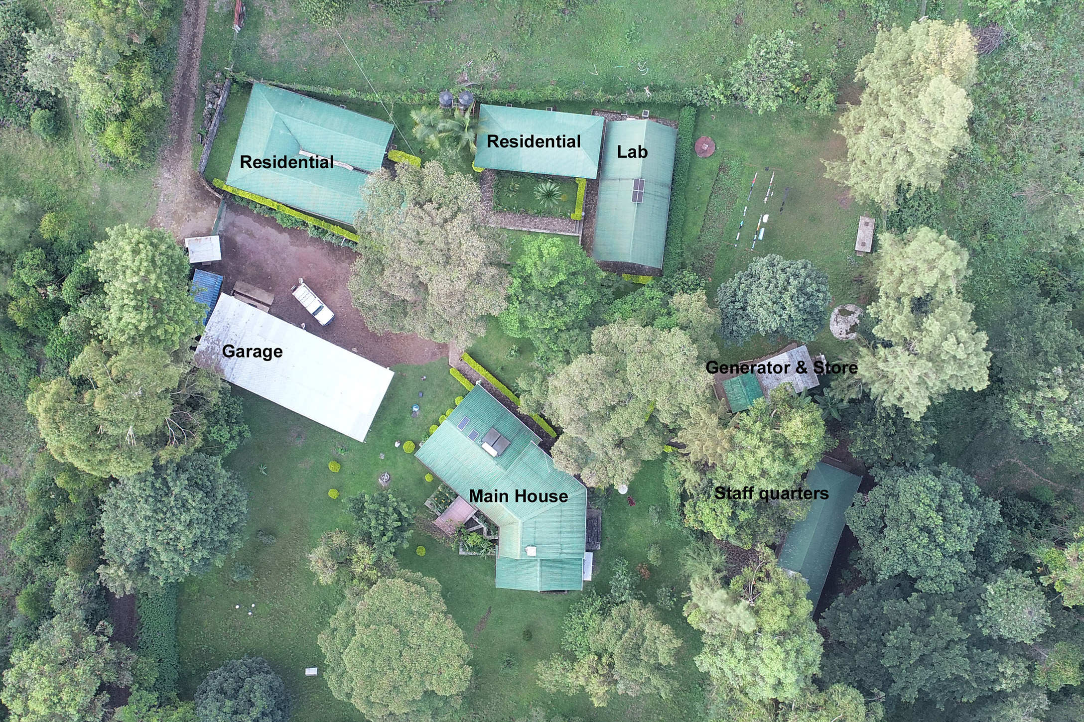
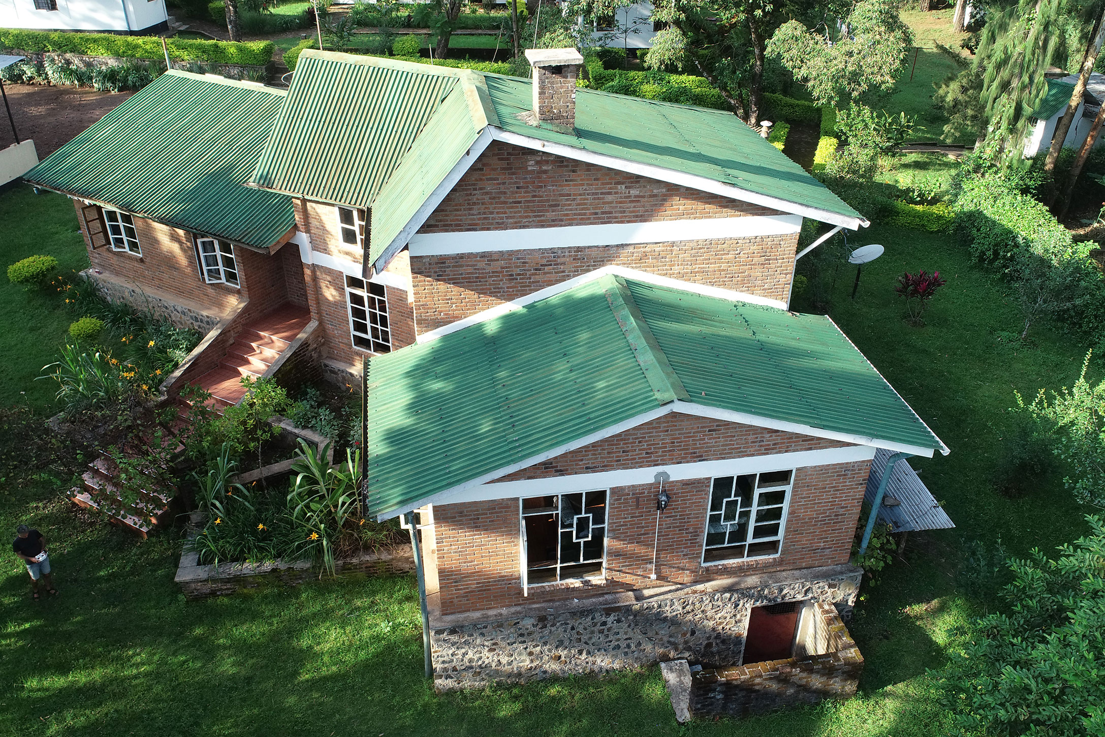
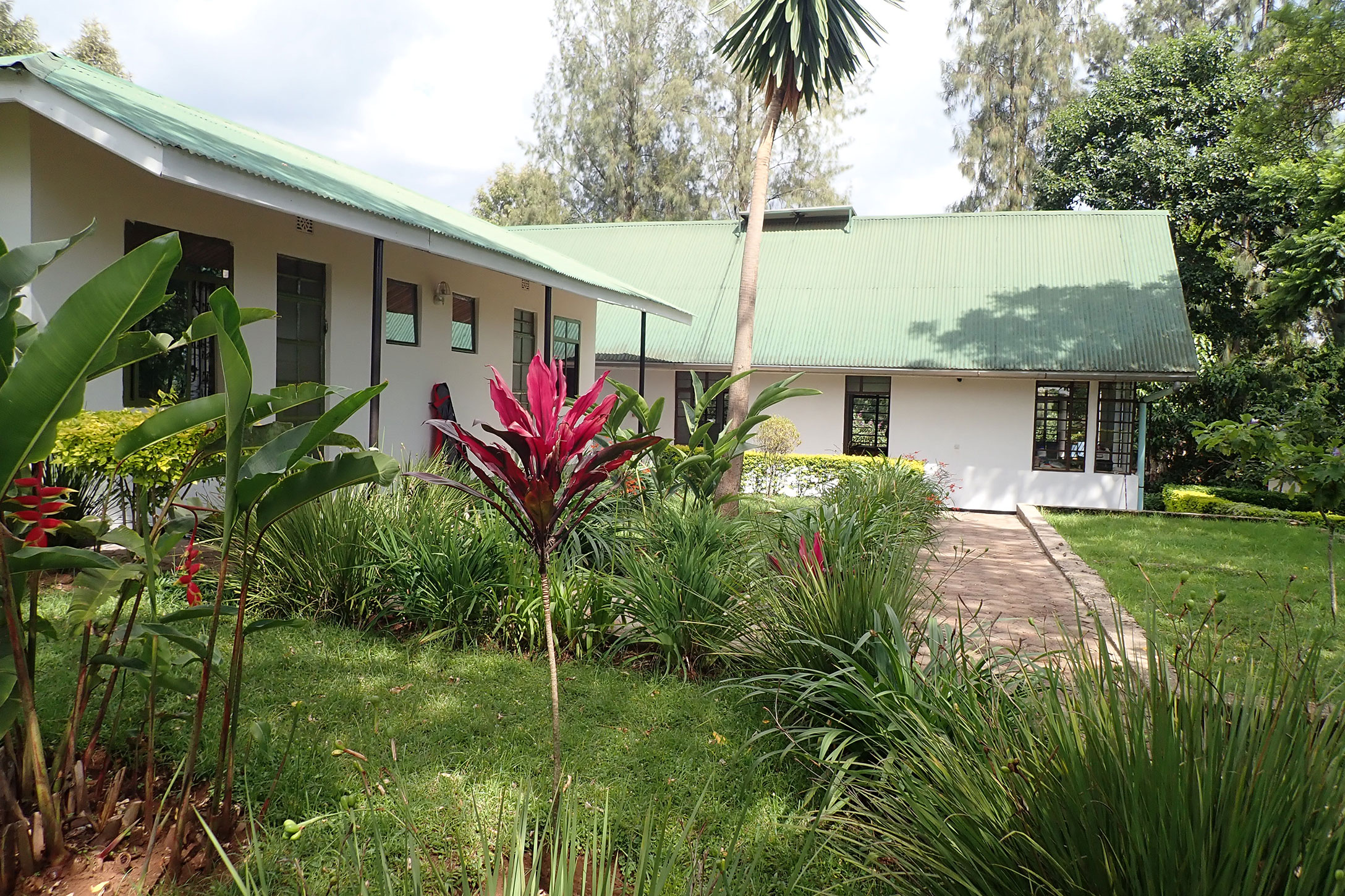
Research station Nkweseko
The research station Nkweseko (area of Machame) is located on the southern slope of Kilimanjaro inside the coffee-banana belt at 1700 m a.s.l. The district capital Moshi (with internet cafes, post office, immigration office, market, bakeries) on the foothills can be reached within 30-45 minutes, Kilimanjaro International Airport within 1-1.5 hours. The station is electrified but also has an 18 KV generator and the laboratory can be run on solar energy. Mobile phone network is available at most of the study sites.